API Projects Involved:
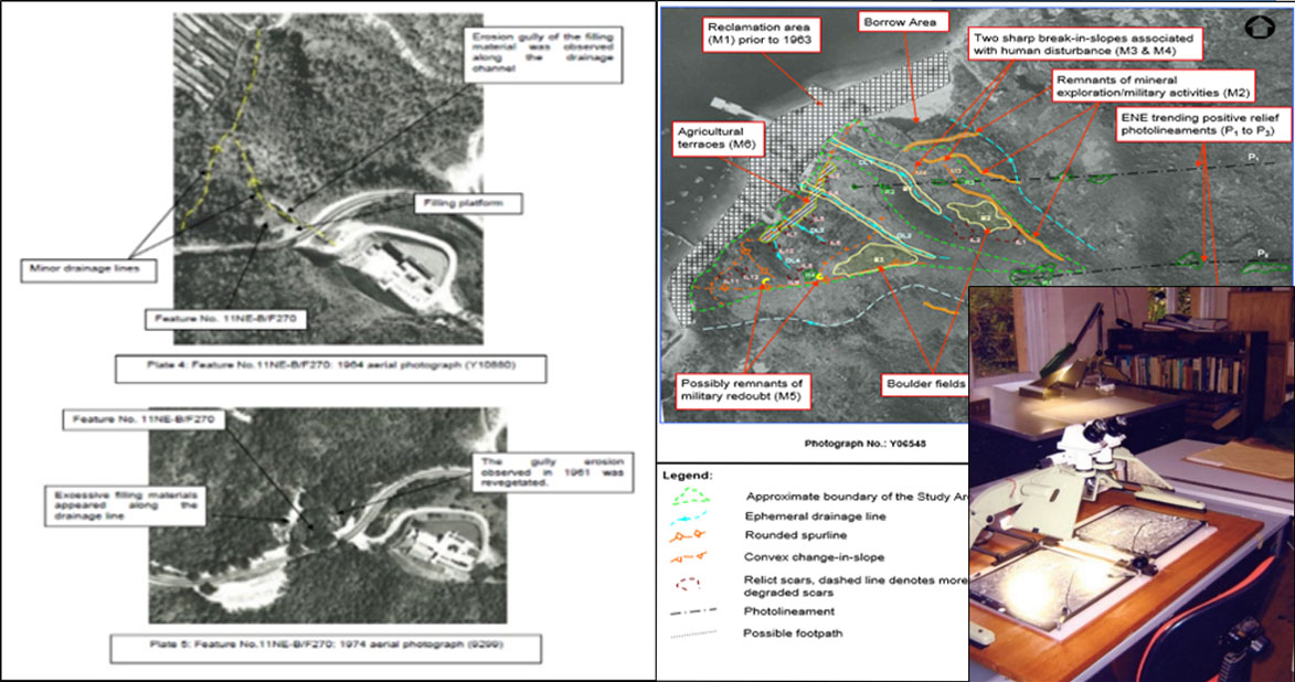
• Various LPM Projects to appreciate the formation history, sign of distress and geomorphology
• Data Collection for Various LPM Projects to review the formation & modification of man-made features
• for Natural Terrain Hazard Studies to establish the geomorphological model and landslide inventory